
Chucuito topographic map
Interactive map
Click on the map to display elevation.
About this map
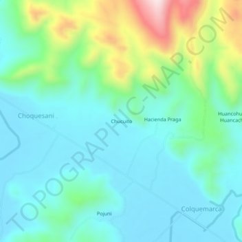
Name: Chucuito topographic map, elevation, terrain.
Location: Chucuito, Melgar, Puno, Peru (-14.68458 -70.43225 -14.64458 -70.39225)
Average elevation: 4,004 m
Minimum elevation: 3,898 m
Maximum elevation: 4,342 m