
Otuke topographic map
Interactive map
Click on the map to display elevation.
About this map
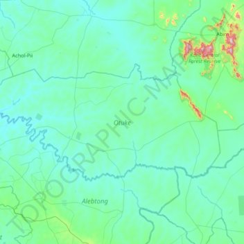
Name: Otuke topographic map, elevation, terrain.
Location: Otuke, Northern Region, Ouganda (2.32162 33.00071 2.63580 33.65669)
Average elevation: 1,080 m
Minimum elevation: 1,004 m
Maximum elevation: 1,834 m
Other topographic maps
Click on a map to view its topography, its elevation and its terrain.