
Amira topographic map
Interactive map
Click on the map to display elevation.
About this map
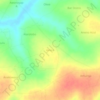
Name: Amira topographic map, elevation, terrain.
Location: Amira, Otuke, Northern Region, Ouganda (2.51349 33.12555 2.55349 33.16555)
Average elevation: 1,039 m
Minimum elevation: 1,012 m
Maximum elevation: 1,065 m
Other topographic maps
Click on a map to view its topography, its elevation and its terrain.