
Lixhe topographic map
Interactive map
Click on the map to display elevation.
About this map
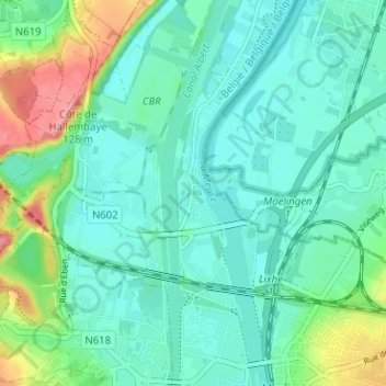
Name: Lixhe topographic map, elevation, terrain.
Location: Lixhe, Visé, Liège, Wallonie, 4600, Belgique (50.73508 5.66011 50.77508 5.70011)
Average elevation: 69 m
Minimum elevation: 44 m
Maximum elevation: 148 m
Other topographic maps
Click on a map to view its topography, its elevation and its terrain.