
Orvieto topographic map
Interactive map
Click on the map to display elevation.
About this map
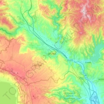
Name: Orvieto topographic map, elevation, terrain.
Location: Orvieto, Terni, Umbria, 05018, Italy (42.62809 11.98207 42.81567 12.31563)
Average elevation: 356 m
Minimum elevation: 70 m
Maximum elevation: 835 m
Other topographic maps
Click on a map to view its topography, its elevation and its terrain.