
Thank you for supporting this site ❤️
Make a donation
Make a donation
Chockie topographic map
Click on the map to display elevation.
Thank you for supporting this site ❤️
Make a donation
Make a donation
About this map
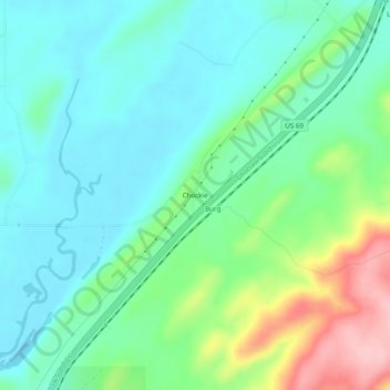
Name: Chockie topographic map, elevation, terrain.
Location: Chockie, Atoka County, Oklahoma, United States (34.56204 -96.01833 34.60204 -95.97833)
Average elevation: 221 m
Minimum elevation: 177 m
Maximum elevation: 341 m
Thank you for supporting this site ❤️
Make a donation
Make a donation
Other topographic maps
Click on a map to view its topography, its elevation and its terrain.