
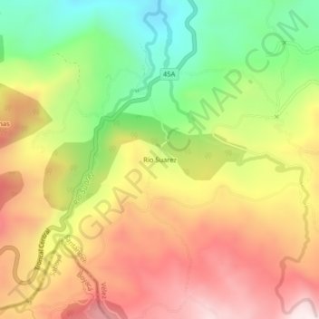
Rio Suarez topographic map
Interactive map
Click on the map to display elevation.
About this map
Name: Rio Suarez topographic map, elevation, terrain.
Location: Rio Suarez, Puente Nacional, Vélez, Santander, Colombia (5.77102 -73.72289 5.81102 -73.68289)
Average elevation: 2,320 m
Minimum elevation: 1,998 m
Maximum elevation: 2,628 m
Other topographic maps
Click on a map to view its topography, its elevation and its terrain.
Puente Nacional
Colombia > Santander > Puente Nacional
Puente Nacional, Santander, Colombia
Average elevation: 1,745 m