
Thank you for supporting this site ❤️
Make a donation
Make a donation
Rocky Mountains topographic map
Click on the map to display elevation.
Thank you for supporting this site ❤️
Make a donation
Make a donation
About this map
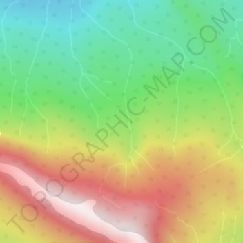
Name: Rocky Mountains topographic map, elevation, terrain.
Average elevation: 1,252 m
Minimum elevation: 915 m
Maximum elevation: 1,662 m
Thank you for supporting this site ❤️
Make a donation
Make a donation
Other topographic maps
Click on a map to view its topography, its elevation and its terrain.
One Island Lake
Canada > British Columbia > Peace River Regional District > Area D (Kiskatinaw Valley)
Average elevation: 910 m