
Villa General Belgrano topographic map
Interactive map
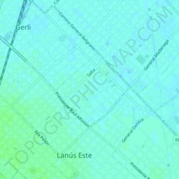
Click on the map to display elevation.
About this map
Name: Villa General Belgrano topographic map, elevation, terrain.
Average elevation: 8 m
Minimum elevation: 5 m
Maximum elevation: 11 m
Other topographic maps
Click on a map to view its topography, its elevation and its terrain.
Gerli
Argentina > Buenos Aires > Gerli
Gerli, Partido de Lanús, Buenos Aires, Argentina
Average elevation: 8 m