
Thank you for supporting this site ❤️
Make a donation
Make a donation
Pine Lake topographic map
Click on the map to display elevation.
Thank you for supporting this site ❤️
Make a donation
Make a donation
About this map
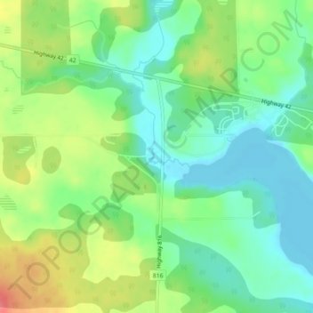
Name: Pine Lake topographic map, elevation, terrain.
Location: Pine Lake, Red Deer County, Alberta, T0M 1S0, Canada (52.10209 -113.49089 52.12209 -113.47089)
Average elevation: 914 m
Minimum elevation: 889 m
Maximum elevation: 955 m
Thank you for supporting this site ❤️
Make a donation
Make a donation