
Kaifu topographic map
Interactive map
Click on the map to display elevation.
About this map
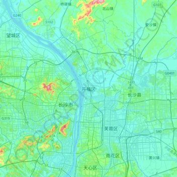
Name: Kaifu topographic map, elevation, terrain.
Location: Kaifu, Kaifu District, Changsha, Hunan, 410003, China (28.09931 112.82067 28.41931 113.14067)
Average elevation: 57 m
Minimum elevation: 18 m
Maximum elevation: 340 m
Other topographic maps
Click on a map to view its topography, its elevation and its terrain.