
Kodia topographic map
Interactive map
Click on the map to display elevation.
About this map
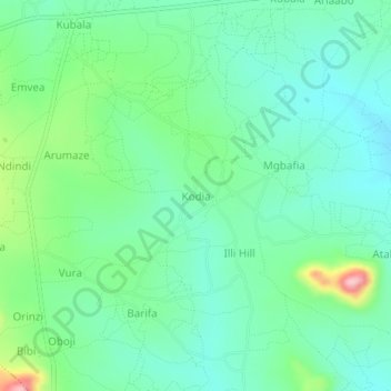
Name: Kodia topographic map, elevation, terrain.
Location: Kodia, Omugo, Arua, Northern Region, Ouganda (3.22805 31.04781 3.26805 31.08781)
Average elevation: 962 m
Minimum elevation: 913 m
Maximum elevation: 1,101 m
Other topographic maps
Click on a map to view its topography, its elevation and its terrain.