
Enia topographic map
Interactive map
Click on the map to display elevation.
About this map
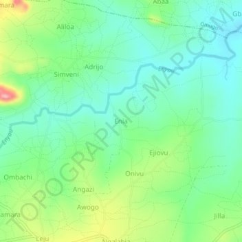
Name: Enia topographic map, elevation, terrain.
Location: Enia, Aii-vu, Arua, Northern Region, Ouganda (3.18517 31.05401 3.22517 31.09401)
Average elevation: 945 m
Minimum elevation: 902 m
Maximum elevation: 1,041 m
Other topographic maps
Click on a map to view its topography, its elevation and its terrain.