
Windsor Nature Park topographic map
Interactive map
Click on the map to display elevation.
About this map
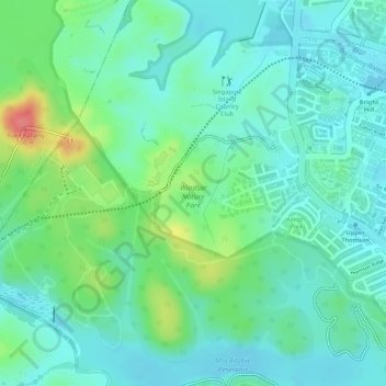
Name: Windsor Nature Park topographic map, elevation, terrain.
Location: Windsor Nature Park, Bishan, Singapore, Central, Singapore (1.35232 103.81855 1.36131 103.82850)
Average elevation: 32 m
Minimum elevation: 8 m
Maximum elevation: 90 m
Other topographic maps
Click on a map to view its topography, its elevation and its terrain.