
Preston topographic map
Interactive map
Click on the map to display elevation.
About this map
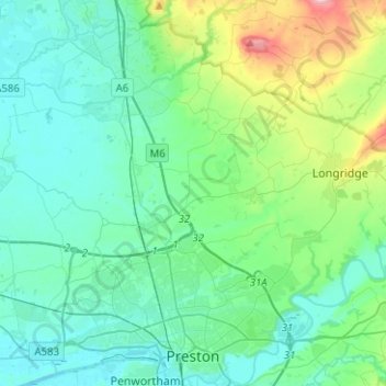
Name: Preston topographic map, elevation, terrain.
Location: Preston, Lancashire, Inglaterra, Reino Unido (53.74801 -2.82600 53.89615 -2.59544)
Average elevation: 58 m
Minimum elevation: 1 m
Maximum elevation: 308 m
Other topographic maps
Click on a map to view its topography, its elevation and its terrain.
Dutton
Reino Unido > Inglaterra > Lancashire > Ribble Valley
Dutton, Ribble Valley, Lancashire, Inglaterra, Reino Unido
Average elevation: 134 m