
Mount Pisa topographic map
Interactive map
Click on the map to display elevation.
About this map
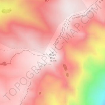
Name: Mount Pisa topographic map, elevation, terrain.
Average elevation: 1,739 m
Minimum elevation: 1,055 m
Maximum elevation: 1,959 m
Other topographic maps
Click on a map to view its topography, its elevation and its terrain.
Lac Wanaka
Nouvelle-Zélande > Otago > Queenstown-Lakes District
Lac Wanaka, Queenstown-Lakes District, Otago, Nouvelle-Zélande
Average elevation: 812 m
Queenstown
Nouvelle-Zélande > Otago > Queenstown-Lakes District
Queenstown, Queenstown-Lakes District, Otago, 9348, Nouvelle-Zélande
Average elevation: 592 m
Arrowtown
Nouvelle-Zélande > Otago > Queenstown-Lakes District
Arrowtown, Queenstown-Lakes District, Otago, 9302, Nouvelle-Zélande
Average elevation: 671 m