
Wildeshausen topographic map
Interactive map
Click on the map to display elevation.
About this map
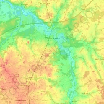
Name: Wildeshausen topographic map, elevation, terrain.
Average elevation: 37 m
Minimum elevation: 14 m
Maximum elevation: 59 m
Other topographic maps
Click on a map to view its topography, its elevation and its terrain.
Ganderkesee
Allemagne > Basse-Saxe > Oldenbourg (arrondissement) > Ganderkesee
Ganderkesee, Oldenbourg (arrondissement), Basse-Saxe, Allemagne
Average elevation: 20 m