
Thank you for supporting this site ❤️
Make a donation
Make a donation
Martinville topographic map
Click on the map to display elevation.
Thank you for supporting this site ❤️
Make a donation
Make a donation
About this map
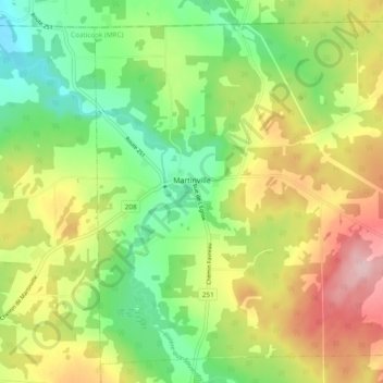
Name: Martinville topographic map, elevation, terrain.
Location: Martinville, Coaticook (MRC), Estrie, Quebec, Canada (45.24593 -71.73865 45.30647 -71.64305)
Average elevation: 307 m
Minimum elevation: 222 m
Maximum elevation: 423 m
Thank you for supporting this site ❤️
Make a donation
Make a donation
Other topographic maps
Click on a map to view its topography, its elevation and its terrain.