
Tohoku topographic map
Interactive map
Click on the map to display elevation.
About this map
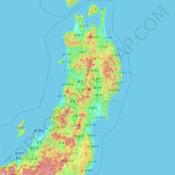
Name: Tohoku topographic map, elevation, terrain.
Location: Tohoku, Japan (36.74434 139.13822 41.60606 142.33153)
Average elevation: 120 m
Minimum elevation: -4 m
Maximum elevation: 2,635 m
Other topographic maps
Click on a map to view its topography, its elevation and its terrain.