
Mont Aylmer topographic map
Interactive map
Click on the map to display elevation.
About this map
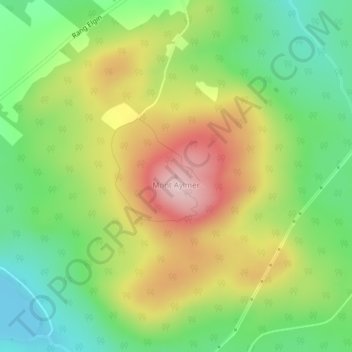
Name: Mont Aylmer topographic map, elevation, terrain.
Location: Mont Aylmer, Stratford, Le Granit, Estrie, Québec, Canada (45.75023 -71.29613 45.75033 -71.29603)
Average elevation: 382 m
Minimum elevation: 268 m
Maximum elevation: 533 m
Other topographic maps
Click on a map to view its topography, its elevation and its terrain.