
Thank you for supporting this site ❤️
Make a donation
Make a donation
Erskine topographic map
Click on the map to display elevation.
Thank you for supporting this site ❤️
Make a donation
Make a donation
About this map
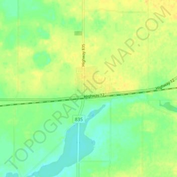
Name: Erskine topographic map, elevation, terrain.
Location: Erskine, County of Stettler, Alberta, T0C 1G0, Canada (52.30019 -112.90208 52.34019 -112.86208)
Average elevation: 812 m
Minimum elevation: 800 m
Maximum elevation: 823 m
Thank you for supporting this site ❤️
Make a donation
Make a donation