
Böhen topographic map
Interactive map
Click on the map to display elevation.
About this map
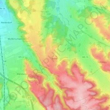
Name: Böhen topographic map, elevation, terrain.
Average elevation: 745 m
Minimum elevation: 649 m
Maximum elevation: 854 m
Other topographic maps
Click on a map to view its topography, its elevation and its terrain.
Legau
Deutschland > Bayern > Landkreis Unterallgäu
Legau, Illerwinkel, Landkreis Unterallgäu, Bayern, 87764, Deutschland
Average elevation: 675 m