
央子街道 topographic map
Interactive map
Click on the map to display elevation.
About this map
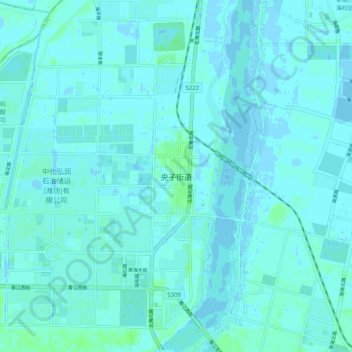
Name: 央子街道 topographic map, elevation, terrain.
Location: 央子街道, Shandong, Chine (37.00348 119.11363 37.08348 119.19363)
Average elevation: 2 m
Minimum elevation: -2 m
Maximum elevation: 8 m
Other topographic maps
Click on a map to view its topography, its elevation and its terrain.