
Changsha topographic map
Interactive map
Click on the map to display elevation.
About this map
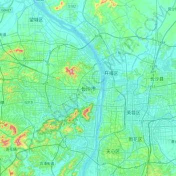
Name: Changsha topographic map, elevation, terrain.
Location: Changsha, Yuelu, Changsha, Hunan, 410013, China (28.07122 112.77346 28.39122 113.09346)
Average elevation: 60 m
Minimum elevation: 18 m
Maximum elevation: 342 m
Other topographic maps
Click on a map to view its topography, its elevation and its terrain.