
Sos del Rey Católico topographic map
Interactive map
Click on the map to display elevation.
About this map
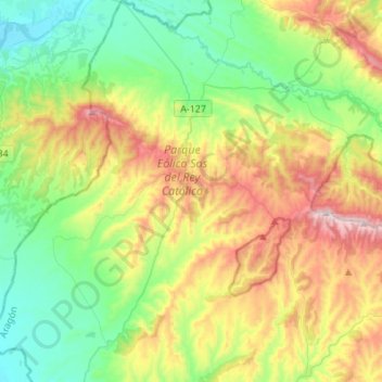
Name: Sos del Rey Católico topographic map, elevation, terrain.
Average elevation: 648 m
Minimum elevation: 382 m
Maximum elevation: 1,150 m
Other topographic maps
Click on a map to view its topography, its elevation and its terrain.
Tamarit
Spanje > Aragón > Cinco Villas > Tauste
Tamarit, Tauste, Cinco Villas, Zaragoza, Aragón, Spanje
Average elevation: 297 m