
Lac-Santé topographic map
Interactive map
Click on the map to display elevation.
About this map
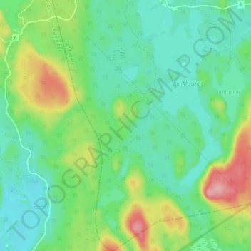
Name: Lac-Santé topographic map, elevation, terrain.
Location: Lac-Santé, Matawinie, Lanaudière, Quebec, Canada (46.60302 -74.50830 46.66420 -74.43845)
Average elevation: 487 m
Minimum elevation: 449 m
Maximum elevation: 577 m