
Thank you for supporting this site ❤️
Make a donation
Make a donation
fuego topographic map
Click on the map to display elevation.
Thank you for supporting this site ❤️
Make a donation
Make a donation
About this map
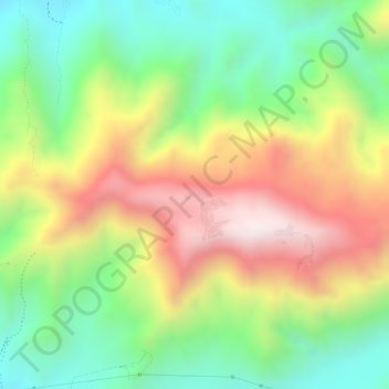
Name: fuego topographic map, elevation, terrain.
Location: fuego, Vista Alegre, Province of Nasca, Ica, Peru (-14.87337 -74.93029 -14.87290 -74.92974)
Average elevation: 925 m
Minimum elevation: 643 m
Maximum elevation: 1,252 m
Thank you for supporting this site ❤️
Make a donation
Make a donation
Other topographic maps
Click on a map to view its topography, its elevation and its terrain.