
Thank you for supporting this site ❤️
Make a donation
Make a donation
Sysendammen topographic map
Click on the map to display elevation.
Thank you for supporting this site ❤️
Make a donation
Make a donation
About this map
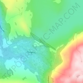
Name: Sysendammen topographic map, elevation, terrain.
Location: Sysendammen, Eidfjord, Vestland, Norway (60.40149 7.37584 60.40732 7.39291)
Average elevation: 932 m
Minimum elevation: 810 m
Maximum elevation: 1,181 m
Thank you for supporting this site ❤️
Make a donation
Make a donation
Other topographic maps
Click on a map to view its topography, its elevation and its terrain.