
Bühlingen topographic map
Interactive map
Click on the map to display elevation.
About this map
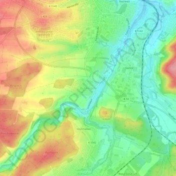
Name: Bühlingen topographic map, elevation, terrain.
Average elevation: 609 m
Minimum elevation: 554 m
Maximum elevation: 679 m
Other topographic maps
Click on a map to view its topography, its elevation and its terrain.
Hochwald
Deutschland > Baden-Württemberg > Landkreis Rottweil > Rottweil
Hochwald, Rottweil, Verwaltungsgemeinschaft Rottweil, Landkreis Rottweil, Baden-Württemberg, 78662, Deutschland
Average elevation: 688 m