
Thank you for supporting this site ❤️
Make a donation
Make a donation
Butarque topographic map
Click on the map to display elevation.
Thank you for supporting this site ❤️
Make a donation
Make a donation
About this map
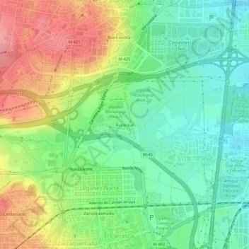
Name: Butarque topographic map, elevation, terrain.
Location: Butarque, Leganés, Comunidad de Madrid, 28919, España (40.33421 -3.76276 40.37421 -3.72276)
Average elevation: 634 m
Minimum elevation: 595 m
Maximum elevation: 690 m
Thank you for supporting this site ❤️
Make a donation
Make a donation
Other topographic maps
Click on a map to view its topography, its elevation and its terrain.