
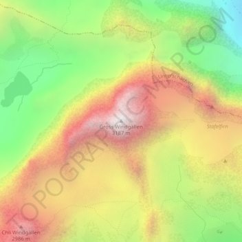
Gross Windgällen topographic map
Interactive map
Click on the map to display elevation.
About this map
Name: Gross Windgällen topographic map, elevation, terrain.
Location: Gross Windgällen, Silenen, Uri, 6475, Svizzera (46.80725 8.73211 46.80735 8.73221)
Average elevation: 2,393 m
Minimum elevation: 1,613 m
Maximum elevation: 3,173 m
Other topographic maps
Click on a map to view its topography, its elevation and its terrain.