
Loch Cragaidh topographic map
Interactive map
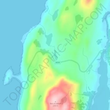
Click on the map to display elevation.
About this map
Name: Loch Cragaidh topographic map, elevation, terrain.
Average elevation: 50 m
Minimum elevation: 0 m
Maximum elevation: 228 m
Other topographic maps
Click on a map to view its topography, its elevation and its terrain.
Lochside
United Kingdom > Scotland > Lochside
Lochside, Highland, Scotland, IV2 7QR, United Kingdom
Average elevation: 36 m