
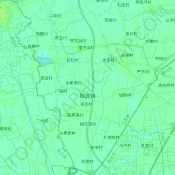
桃源镇 topographic map
Interactive map
Click on the map to display elevation.
About this map
Name: 桃源镇 topographic map, elevation, terrain.
Location: 桃源镇, 吴江区, 苏州市, 江苏省, 中国 (30.76033 120.43536 30.88664 120.56895)
Average elevation: 5 m
Minimum elevation: 1 m
Maximum elevation: 10 m
Other topographic maps
Click on a map to view its topography, its elevation and its terrain.