
Thank you for supporting this site ❤️
Make a donation
Make a donation
Webster topographic map
Click on the map to display elevation.
Thank you for supporting this site ❤️
Make a donation
Make a donation
About this map
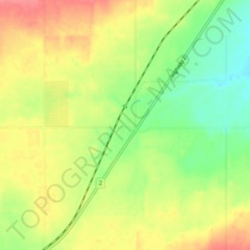
Name: Webster topographic map, elevation, terrain.
Location: Webster, County of Grande Prairie, Alberta, Canada (55.41276 -118.71521 55.45276 -118.67521)
Average elevation: 805 m
Minimum elevation: 772 m
Maximum elevation: 839 m
Thank you for supporting this site ❤️
Make a donation
Make a donation