
중원구 topographic map
Interactive map
Click on the map to display elevation.
About this map
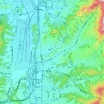
Name: 중원구 topographic map, elevation, terrain.
Location: 중원구, Seongnam, Corée du Sud (37.40543 127.11757 37.47481 127.19596)
Average elevation: 83 m
Minimum elevation: 8 m
Maximum elevation: 415 m
Other topographic maps
Click on a map to view its topography, its elevation and its terrain.