
Thank you for supporting this site ❤️
Make a donation
Make a donation
Lesve topographic map
Click on the map to display elevation.
Thank you for supporting this site ❤️
Make a donation
Make a donation
About this map
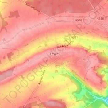
Name: Lesve topographic map, elevation, terrain.
Location: Lesve, Profondeville, Namur, Wallonie, 5170, Belgique (50.35735 4.75481 50.39735 4.79481)
Average elevation: 241 m
Minimum elevation: 154 m
Maximum elevation: 269 m
Thank you for supporting this site ❤️
Make a donation
Make a donation
Other topographic maps
Click on a map to view its topography, its elevation and its terrain.
Thank you for supporting this site ❤️
Make a donation
Make a donation
Thank you for supporting this site ❤️
Make a donation
Make a donation