
Thank you for supporting this site ❤️
Make a donation
Make a donation
Lesve topographic map
Click on the map to display elevation.
Thank you for supporting this site ❤️
Make a donation
Make a donation
About this map
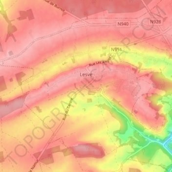
Name: Lesve topographic map, elevation, terrain.
Location: Lesve, Profondeville, Namur, Wallonie, Belgique (50.35760 4.74097 50.39123 4.80737)
Average elevation: 239 m
Minimum elevation: 153 m
Maximum elevation: 269 m
Thank you for supporting this site ❤️
Make a donation
Make a donation
Other topographic maps
Click on a map to view its topography, its elevation and its terrain.