
青秀区 topographic map
Interactive map
Click on the map to display elevation.
About this map
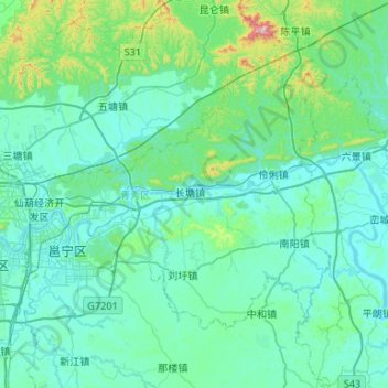
Name: 青秀区 topographic map, elevation, terrain.
Location: 青秀区, 南宁市, 广西壮族自治区, 中国 (22.66142 108.31369 23.00115 108.84190)
Average elevation: 140 m
Minimum elevation: 56 m
Maximum elevation: 839 m
Other topographic maps
Click on a map to view its topography, its elevation and its terrain.