
Thank you for supporting this site ❤️
Make a donation
Make a donation
Windsor topographic map
Click on the map to display elevation.
Thank you for supporting this site ❤️
Make a donation
Make a donation
About this map
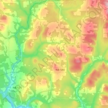
Name: Windsor topographic map, elevation, terrain.
Average elevation: 194 m
Minimum elevation: 81 m
Maximum elevation: 335 m
Thank you for supporting this site ❤️
Make a donation
Make a donation
Other topographic maps
Click on a map to view its topography, its elevation and its terrain.
South Knowlesville
Canada > New Brunswick > Carleton County > Town of Hartland
Average elevation: 285 m