
Thank you for supporting this site ❤️
Make a donation
Make a donation
Manchuria topographic map
Click on the map to display elevation.
Thank you for supporting this site ❤️
Make a donation
Make a donation
About this map
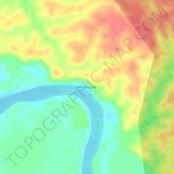
Name: Manchuria topographic map, elevation, terrain.
Location: Manchuria, Province of Loreto, Loreto, Peru (-3.85835 -74.34842 -3.81835 -74.30842)
Average elevation: 125 m
Minimum elevation: 95 m
Maximum elevation: 157 m
Thank you for supporting this site ❤️
Make a donation
Make a donation