
Thank you for supporting this site ❤️
Make a donation
Make a donation
Bayanan II topographic map
Click on the map to display elevation.
Thank you for supporting this site ❤️
Make a donation
Make a donation
About this map
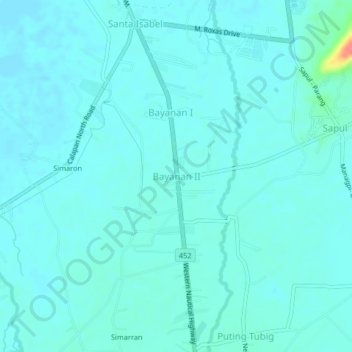
Name: Bayanan II topographic map, elevation, terrain.
Location: Bayanan II, Calapan, Oriental Mindoro, Mimaropa, Philippines (13.33967 121.14944 13.37967 121.18944)
Average elevation: 8 m
Minimum elevation: 0 m
Maximum elevation: 65 m
Thank you for supporting this site ❤️
Make a donation
Make a donation
Other topographic maps
Click on a map to view its topography, its elevation and its terrain.