
Thank you for supporting this site ❤️
Make a donation
Make a donation
Golden Spike topographic map
Click on the map to display elevation.
Thank you for supporting this site ❤️
Make a donation
Make a donation
About this map
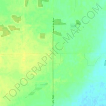
Name: Golden Spike topographic map, elevation, terrain.
Location: Golden Spike, Parkland County, Alberta, Canada (53.40053 -113.92027 53.42053 -113.90027)
Average elevation: 714 m
Minimum elevation: 703 m
Maximum elevation: 723 m
Thank you for supporting this site ❤️
Make a donation
Make a donation
Other topographic maps
Click on a map to view its topography, its elevation and its terrain.