
陕西省 topographic map
Interactive map
Click on the map to display elevation.
About this map
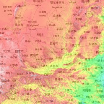
Name: 陕西省 topographic map, elevation, terrain.
Location: 陕西省, 中国 (31.70667 105.48730 39.58494 111.24248)
Average elevation: 1,147 m
Minimum elevation: 55 m
Maximum elevation: 3,960 m
Other topographic maps
Click on a map to view its topography, its elevation and its terrain.