
Bastos topographic map
Interactive map
Click on the map to display elevation.
About this map
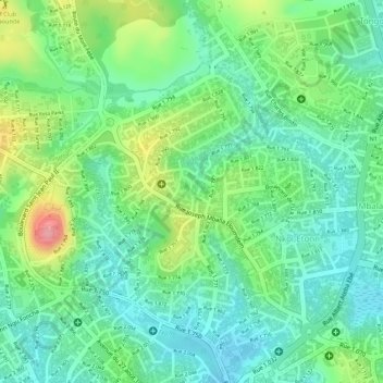
Name: Bastos topographic map, elevation, terrain.
Location: Bastos, Yaoundé I, CUY, Mfoundi, CE, Cameroun (3.88254 11.49875 3.90552 11.52301)
Average elevation: 755 m
Minimum elevation: 715 m
Maximum elevation: 831 m
Other topographic maps
Click on a map to view its topography, its elevation and its terrain.