
Thank you for supporting this site ❤️
Make a donation
Make a donation
Kevisville topographic map
Click on the map to display elevation.
Thank you for supporting this site ❤️
Make a donation
Make a donation
About this map
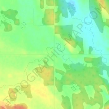
Name: Kevisville topographic map, elevation, terrain.
Location: Kevisville, Red Deer County, Alberta, Canada (52.01796 -114.43993 52.03796 -114.41993)
Average elevation: 985 m
Minimum elevation: 966 m
Maximum elevation: 1,006 m
Thank you for supporting this site ❤️
Make a donation
Make a donation