
新田 topographic map
Interactive map
Click on the map to display elevation.
About this map
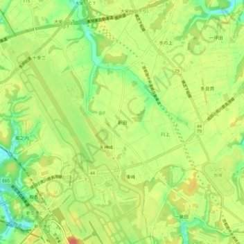
Name: 新田 topographic map, elevation, terrain.
Location: 新田, Narita, Chiba Prefecture, Kanto, 286-0101, Japan (35.77368 140.37782 35.81368 140.41782)
Average elevation: 40 m
Minimum elevation: 15 m
Maximum elevation: 58 m