
Gives topographic map
Interactive map
Click on the map to display elevation.
About this map
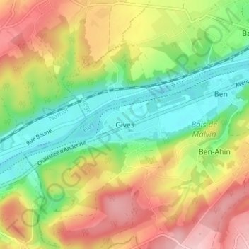
Name: Gives topographic map, elevation, terrain.
Location: Gives, Huy, Liège, Wallonie, 4500, Belgique (50.48768 5.13467 50.52768 5.17467)
Average elevation: 144 m
Minimum elevation: 63 m
Maximum elevation: 242 m
Other topographic maps
Click on a map to view its topography, its elevation and its terrain.