
Hilario topographic map
Interactive map
Click on the map to display elevation.
About this map
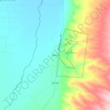
Name: Hilario topographic map, elevation, terrain.
Location: Hilario, Calingasta, SJ, Argentina (-31.49824 -69.42203 -31.45824 -69.38203)
Average elevation: 1,539 m
Minimum elevation: 1,451 m
Maximum elevation: 1,729 m