
El Inca topographic map
Interactive map
Click on the map to display elevation.
About this map
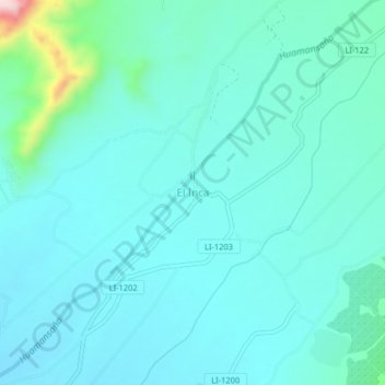
Name: El Inca topographic map, elevation, terrain.
Location: El Inca, Chao, Province of Virú, La Libertad, Peru (-8.52998 -78.67255 -8.48998 -78.63255)
Average elevation: 132 m
Minimum elevation: 86 m
Maximum elevation: 407 m