
Aiguaviva topographic map
Interactive map
Click on the map to display elevation.
About this map
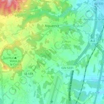
Name: Aiguaviva topographic map, elevation, terrain.
Location: Aiguaviva, Gironès, Gerunda, Catalunha, 17181, Espanha (41.90333 2.74705 41.94940 2.79418)
Average elevation: 149 m
Minimum elevation: 99 m
Maximum elevation: 285 m
Other topographic maps
Click on a map to view its topography, its elevation and its terrain.